DE
DE


Overview of the features
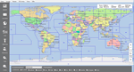
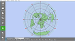
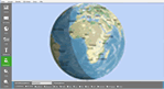
The HAM world comes to the screen with HAM Atlas.
Thanks to vector-oriented graphics, the maps and graphics can be adapted to any screen resolution and can be zoomed in very detailed. HAM Atlas offers a multitude of functions and
is nevertheless extremely clear and easy to use. A precise explanation of the functions can be found on the left in the menu selection .
In addition, the program offers the option of a connection with HAM Office . For more detailed information, please click here .
Function overview:
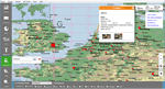
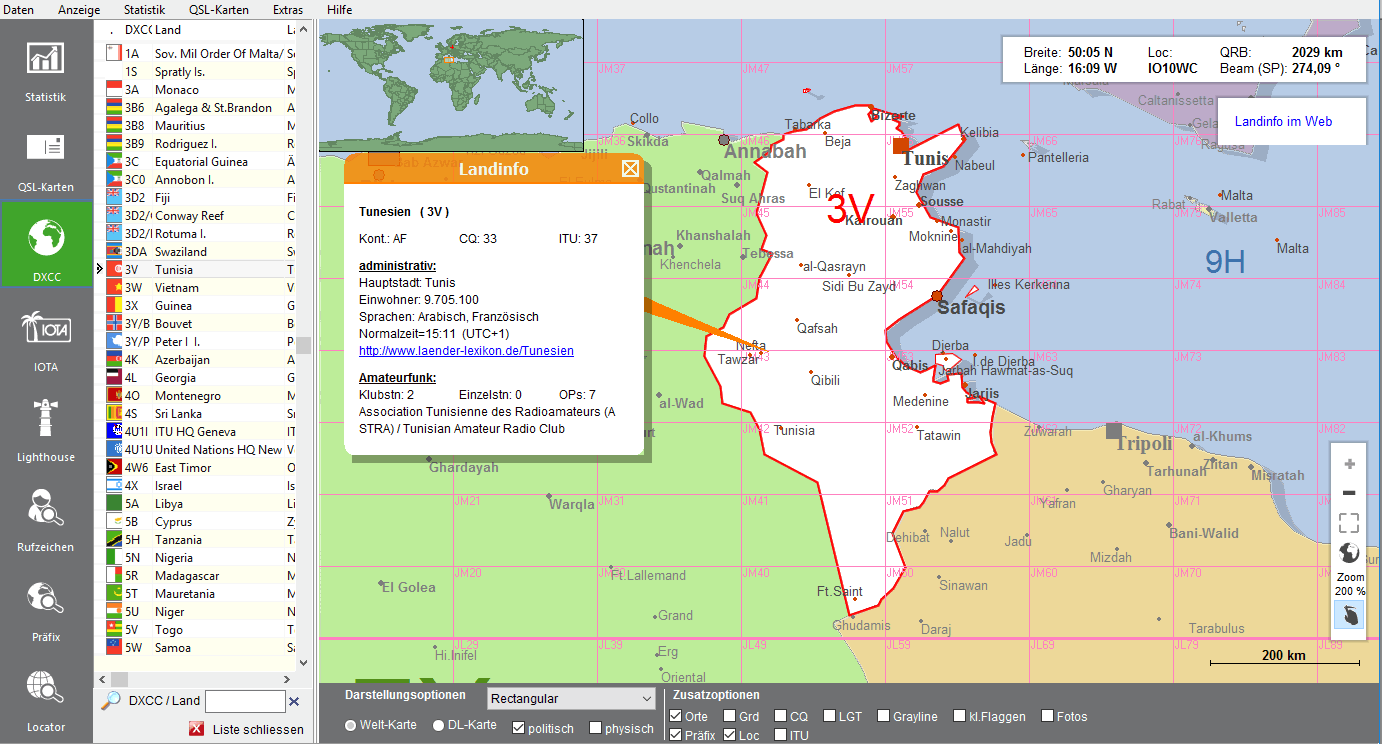
- Detailed maps and large photos of many countries, places or islands in the world
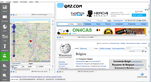
- Callsign search (if the locator associated with the callsign is contained in the database, the exact location is displayed); Access to Callbook CD and internet databases as well as internet maps
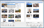
- QSL card management: With this function you can import scanned QSL cards into the program, assign countries or other groups and view them individually or as a slideshow.
- Printing of maps
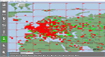
- Marking of worked and confirmed locators, display of worked and confirmed QSOs and DXCCs
- Connection of the representation of the DXCC with country information from the Internet ( Infos )
- When searching for a call, various websites and internet maps are called up for additional information on the call ( Infos )
- Direct connection to an ADIF logbook or HAM Office logbook: Representation of the stations, DXCC and Locator on the maps filtered by band and mode ( DXCC-Stat. and Loc-Stat. )
- When connected to the logbook program HAM Office, the QSL card management can access all directories of QSL cards/photos there ( Infos )